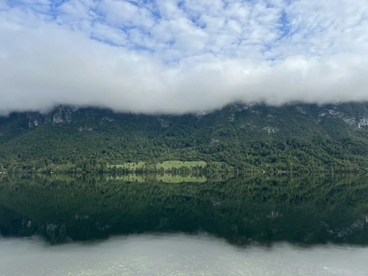
Reading Lake Bohinj weather in context
Lake Bohinj weather needs to be read at the scale of your outing. The climate reference used here is the ARSO station at Bohinjska Češnjica, at 596 m, for the normal period 1991 to 2020. These are long-term valley measurements. They help explain the seasonal background for a visit, while the weather on your travel day remains a separate question.
A valley reference is especially useful when you are deciding between time by the lake and a mountain objective. Vogel and summit conditions require their own assessment. Start with your intended activity, then look at the current forecast and relevant mountain information. For a date choice rather than a reading of the numbers, use the season and activity planning guide.

Monthly temperatures and precipitation
The table gives mean daily maximum and minimum air temperatures, followed by monthly precipitation. The temperature columns describe averages of daily highs and lows, rather than record extremes. Precipitation is a monthly amount, not a count of wet days. Read each column on its own terms before using the table to compare possible travel months.
All rows use the same ARSO reference period, 1991 to 2020. July and August have the warmest mean daily maxima. November has the highest monthly precipitation total and January the lowest in this series. Those comparisons describe the climate record; they do not predict a dry January visit or a particular storm in November.
| Month | Mean daily maximum °C | Mean daily minimum °C | Precipitation mm |
|---|---|---|---|
| January | 3.6 | −4.8 | 100 |
| February | 6.2 | −4.4 | 107 |
| March | 10.8 | −1.0 | 127 |
| April | 15.3 | 2.8 | 130 |
| May | 20.1 | 7.0 | 140 |
| June | 24.0 | 10.7 | 165 |
| July | 26.1 | 12.3 | 157 |
| August | 25.9 | 12.3 | 145 |
| September | 20.7 | 8.8 | 211 |
| October | 15.4 | 5.0 | 221 |
| November | 9.0 | 1.0 | 257 |
| December | 3.8 | −3.6 | 181 |
Our pick: a mountain hike
For suitable mountain conditions, this demanding guided hike includes transport and an experienced guide.
Hand-picked tours, booked through GetYourGuide. Prices are indicative starting prices in euros (as of October 2026). Tap a tour for live availability and the current price in your currency.

A mountain hike for appropriate conditions
The demanding guided Seven Lakes Valley hike includes transport and hotel pickup; arrange the required boots, clothing, food, water and insurance.
Rainfall matters in summer too
Summer has substantial precipitation in the valley series. A warm month therefore needs a weather plan just as much as a cool one. If your main purpose is paddling or a mountain walk, leave enough flexibility to respond to unsuitable conditions. Treat the forecast for the actual day as the next step after choosing a month from the climate table.
Air temperature also needs to be kept separate from lake-water conditions. A monthly daytime maximum is not a swimming-water temperature. The lake activities guide covers the designated bathing areas and paddling context. Decide on swimming or a boat activity using the relevant conditions and rules, rather than translating a warm valley average into a promise about the water.
Valley frost and winter mountain conditions
Negative mean daily minimum temperatures in the winter rows support planning for possible frost in the valley. They do not establish a safe ice surface on the lake. Keep a lakeshore visit separate from any activity involving ice, and plan walking according to the surface conditions you encounter. The winter visit guide explains the practical distinction between a valley outing and a mountain trip.
For winter mountain travel, the national park recommends checking weather, snow conditions, equipment and open huts. Its equipment guidance includes avalanche equipment, an ice axe, crampons and a helmet, together with the knowledge required to use them. Knowledge of how to use that equipment is essential. Choose a route and activity that match your experience as well as the conditions.
A guided mountain option for suitable conditions
The guided Seven Lakes Valley outing presented here is a demanding twelve-hour mountain hike. It includes an experienced guide, transport, fuel, parking fees and hotel pickup and drop-off. The pickup location belongs to the arrangement for the particular booking. This is an option for appropriate mountain conditions and capable participants; the fact that it is guided does not make it a rainy-day substitute.
High-cut hiking boots with a ribbed sole, warm clothing, water, snacks, food and insurance are for participants to arrange. Trekking poles are recommended. Compare these requirements with the gentler format on the hiking page before committing to a full mountain day. Keep the effort and equipment decision separate from the attractiveness of the lake views.
National park planning and help
For detailed national park and Seven Lakes route planning, continue to Savica Waterfall. Keep this page as your climate reference and use route-specific information for a mountain itinerary. On outings, remain on marked paths, keep dogs on leads and use designated parking areas. These visitor rules apply alongside the decisions you make about weather.
The national park gives 112 as the emergency number. Before leaving, check the forecast and the conditions relevant to the full route, including your return. If the outing no longer fits those conditions or your preparation, choose an appropriate lower-level plan. Use the monthly table as background, then make this final decision for the individual day.
Weather questions
Are the table values a forecast?
They are climate normals for 1991 to 2020 at Bohinjska Češnjica, not a forecast. Use them to understand the seasonal background, then consult weather and mountain information for your visit date.
Does a summer visit avoid rain?
The reference series includes substantial precipitation in the warm months. Leave room to adjust outdoor plans and assess the conditions for swimming, paddling or walking separately.
Can the valley station describe Vogel weather?
The station is at 596 m and represents the valley. Vogel and summit conditions need their own assessment; neither the temperature table nor a valley observation establishes safe mountain conditions.